Greenwood, SC News
TOP Green wood STORIES
BREAKING NEWS
Tragedy Strikes in Greenwood: A Life Cut Short
News Summary A shocking incident occurred in Greenwood County, South Carolina, where a young man was arrested for the murder of 24-year-old Johnny Frank Covington III. Covington was found dead...
Chloe Cox: A Healthcare Hero’s Inspiring Path
News Summary Chloe Cox from Greenwood, SC, transformed her personal challenge of her grandmother’s early-onset Alzheimer’s into a passionate pursuit of a healthcare career. Starting with health science classes in...
Tragic Morning Collision Claims Lives of Two Spartanburg Women
News Summary A heartbreaking car crash in Spartanburg on Thursday morning claimed the lives of two women, Tonya Leakia Giles and Brittany Nicole Wooten. The accident involved a collision between...
Serious Charges in Greenwood: A Wake-Up Call on Vulnerable Adult Care
News Summary In Greenwood, 25-year-old Andrea Michelle Gilbert was arrested on charges of neglect and exploitation of a vulnerable adult. The incident arose following a welfare check that revealed the...
Greenwood, SC Sees Surge in Violent Incidents, Multiple Arrests Made
News Summary Recent weeks have seen a troubling rise in violent incidents in Greenwood, South Carolina, leading to multiple arrests. Authorities are stepping up efforts to ensure community safety after...
Body Found Near Greenwood Mall: Investigation Underway
News Summary Authorities in Greenwood are investigating the discovery of a male body found in the woods near Greenwood Mall. The police quickly responded after a report was received, leading...
Road Rage Incident in Due West Results in Arrest
News Summary A dramatic road rage incident in Due West led to the arrest of Cameron Drew Overholt, a 34-year-old man, after he brandished a firearm during a heated exchange...
Greenwood Man Charged with Grand Larceny in Dirt Bike Theft
News Summary On March 5, 2025, Anthony Jamaria Coleman, a 26-year-old from Greenwood, was arrested for grand larceny after being caught attempting to steal a dirt bike. While conducting a...
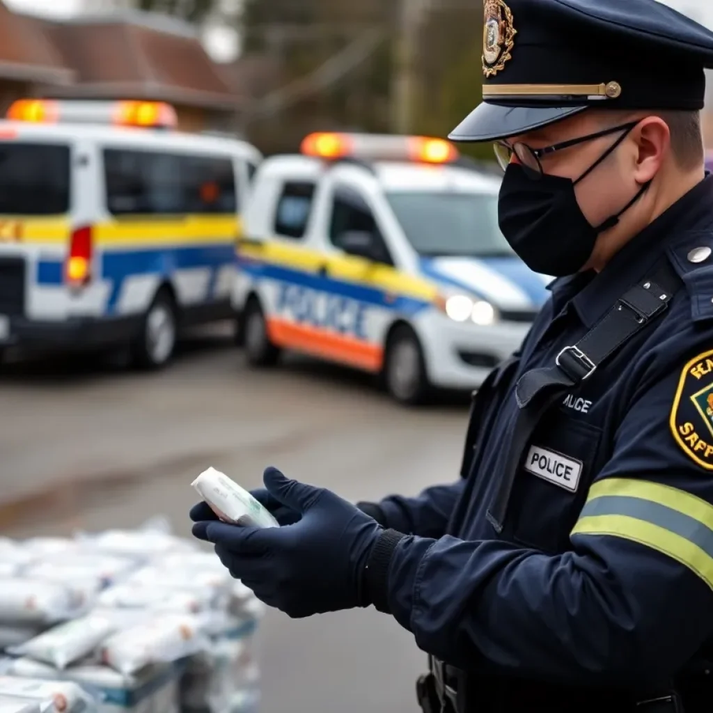
Greenwood Authorities Intensify Fight Against Fentanyl Trafficking
News Summary In Greenwood, local authorities have intensified their efforts to combat fentanyl trafficking with a series of significant arrests and drug seizures. The operations have led to numerous apprehensions...
BUSINESS
Abbeville County Council Delays Property Tax Reassessment
News Summary The Abbeville County Council has decided to postpone the property tax reassessment for a year, providing relief for property owners. This first reading is part of a process...
Greenwood Social Security Office Remains Open
News Summary The Greenwood Social Security Administration (SSA) office at 115 Enterprise Court STE C will remain open despite some changes in its operations, including the closure of a remote...
Greenwood High School to Construct New Field House
News Summary Greenwood High School is set to begin construction on a new multi-purpose field house, costing $9.9 million. The facility will offer a high-tech weight room, coaching offices, training...
Greenwood’s Social Security Office Faces Lease Changes
News Summary The Social Security Administration (SSA) office in Greenwood is facing potential changes as TL Investments, the property leaseholder, has received a termination notice effective June 23, 2025. While...
Tragic Pedestrian Accident in Greenwood County
News Summary Greenwood County, SC, is mourning the loss of 56-year-old Tracy Denise Brooks, who died after being struck by a vehicle while walking. The accident, which occurred in the...
Nathan Wooley: A Dual Enrollment Star in Due West
News Summary In Due West, South Carolina, high school senior Nathan Wooley is making significant strides by balancing education, firefighting, and a part-time job. Completing his studies at Dixie High...
Dr. Steve Skinner Receives 2025 S.C. Life Sciences Pinnacle Award
News Summary Dr. Steve Skinner has been honored with the 2025 S.C. Life Sciences Pinnacle Award at the annual SCbio conference in Charleston. Celebrating his contributions as president and CEO...
Eaton Corporation Donates $25,000 to Piedmont Technical College
News Summary Eaton Corporation has made a significant impact by donating $25,000 to the Piedmont Technical College (PTC) Foundation. This funding will enhance the Engineering Technology Department through the purchase...
Greenwood County Hydro Project Receives Conditional Approval
News Summary After 20 years of work, Greenwood County’s Hydro Project is moving forward with conditional approval from the Federal Energy Regulatory Commission. Significant improvements to dam safety and stability...
Events/What's Happening
Road to Life Event in Greenwood Features Dr. Ben Carson
News Summary Greenwood is set to host its 5th Annual ‘Road to Life’ event on April 4, 2025, featuring keynote speaker Dr. Ben Carson. The gathering promises to be an...
Gardening in Greenwood: Spring Planting Tips for Everyone!
News Summary As spring unfolds in Greenwood, gardeners are encouraged to take advantage of the warming weather for planting. Local garden shops are stocked with spring bulbs and plants, while...
Leadership Announced for the 2025 South Carolina Festival of Flowers
News Summary Greenwood is gearing up for the 2025 South Carolina Festival of Flowers, celebrating its 58th year. Cady Nell Keener will serve as chairperson and Lindsey Turner as co-chairperson....
Laughter Lights Up Greenwood Country Club
News Summary Last night, the Greenwood Country Club hosted comedian Pam Stone, delivering an evening filled with laughter and joy. The event drew a large audience eager for entertainment, highlighting...
Upcoming Events in Upstate South Carolina
News Summary Upstate South Carolina residents can look forward to a fun-filled week of cultural events, outdoor activities, and theatrical performances. Highlights include art exhibits at Lander University, musical performances...
Greenwood County Council Approves Salary Increases and Initiatives
News Summary During the Greenwood County Council meeting on March 7, 2025, significant updates were announced, including approved salary increases for key officials, transportation funding for essential services, and recognition...
Lake Greenwood Cleanup Event Scheduled for March 8
News Summary Join the community of Greenwood on March 8 for a Lake Greenwood cleanup event from 9 a.m. to noon. Volunteers will be rewarded with T-shirts and lunch as...
Piedmont Technical College Honors Fall 2024 Academic Achievers
News Summary Piedmont Technical College celebrates its students’ academic achievements for Fall 2024, recognizing stellar performances with the President’s List, Dean’s List, and Merit List. Exceptional students from Laurens County...
Greenwood to Host Women’s Leadership Upstate Conference 2025
News Summary Greenwood, South Carolina is preparing to host the Women’s Leadership Upstate Conference on March 21, 2025, at the Little River Multicultural Complex. This year’s theme, ‘Leading with Purpose...
CRIME
Tragedy Strikes in Greenwood: A Life Cut Short
News Summary A shocking incident occurred in Greenwood County, South Carolina, where a young man was arrested for the murder of 24-year-old Johnny Frank Covington III. Covington was found dead...
Tragic Morning Collision Claims Lives of Two Spartanburg Women
News Summary A heartbreaking car crash in Spartanburg on Thursday morning claimed the lives of two women, Tonya Leakia Giles and Brittany Nicole Wooten. The accident involved a collision between...
Serious Charges in Greenwood: A Wake-Up Call on Vulnerable Adult Care
News Summary In Greenwood, 25-year-old Andrea Michelle Gilbert was arrested on charges of neglect and exploitation of a vulnerable adult. The incident arose following a welfare check that revealed the...
Greenwood, SC Sees Surge in Violent Incidents, Multiple Arrests Made
News Summary Recent weeks have seen a troubling rise in violent incidents in Greenwood, South Carolina, leading to multiple arrests. Authorities are stepping up efforts to ensure community safety after...
Body Found Near Greenwood Mall: Investigation Underway
News Summary Authorities in Greenwood are investigating the discovery of a male body found in the woods near Greenwood Mall. The police quickly responded after a report was received, leading...
Road Rage Incident in Due West Results in Arrest
News Summary A dramatic road rage incident in Due West led to the arrest of Cameron Drew Overholt, a 34-year-old man, after he brandished a firearm during a heated exchange...
Greenwood Man Charged with Grand Larceny in Dirt Bike Theft
News Summary On March 5, 2025, Anthony Jamaria Coleman, a 26-year-old from Greenwood, was arrested for grand larceny after being caught attempting to steal a dirt bike. While conducting a...
Greenwood Authorities Intensify Fight Against Fentanyl Trafficking
News Summary In Greenwood, local authorities have intensified their efforts to combat fentanyl trafficking with a series of significant arrests and drug seizures. The operations have led to numerous apprehensions...
Greenwood Man Arrested in Major Fentanyl Drug Bust
News Summary Residents of Greenwood are in shock after local law enforcement arrested 25-year-old Khalil Hikeem Abney for trafficking over 1,000 grams of fentanyl. The arrest follows a six-month investigation...
POLITICS
Chloe Cox: A Healthcare Hero’s Inspiring Path
News Summary Chloe Cox from Greenwood, SC, transformed her personal challenge of her grandmother’s early-onset Alzheimer’s into a passionate pursuit of a healthcare career. Starting with health science classes in...
Greenwood, SC Sees Surge in Violent Incidents, Multiple Arrests Made
News Summary Recent weeks have seen a troubling rise in violent incidents in Greenwood, South Carolina, leading to multiple arrests. Authorities are stepping up efforts to ensure community safety after...
Body Found Near Greenwood Mall: Investigation Underway
News Summary Authorities in Greenwood are investigating the discovery of a male body found in the woods near Greenwood Mall. The police quickly responded after a report was received, leading...
Greenwood Authorities Intensify Fight Against Fentanyl Trafficking
News Summary In Greenwood, local authorities have intensified their efforts to combat fentanyl trafficking with a series of significant arrests and drug seizures. The operations have led to numerous apprehensions...
Christi Louden: A Beacon of Hope and Knowledge in Greenwood County
News Summary Christi Louden, the assistant superintendent for administration in District 50, has dedicated her life to enriching education in Greenwood County. Starting as a fifth-grade teacher, she climbed the...
Greenwood Community Mourns the Loss of Dr. Richard M. Carter
News Summary The community of Greenwood, SC, bids farewell to a cherished physician, Dr. Richard M. Carter, who dedicated 38 years to medicine and was an influential figure in community...
Ware Shoals Bids Farewell to Hydroelectric Project
News Summary Ware Shoals is set to part ways with its long-standing hydroelectric project on the Saluda River. The decision comes from Aquenergy Systems LLC, which has surrendered its operational...
Child Neglect and Abuse Charges Hit Greenwood Community
News Summary The Greenwood community is reeling from multiple child neglect and abuse charges against local residents. Notable cases include Kristen Dickey, who faces charges after her newborn tested positive...
Greenwood County Council Advances Community Recovery Efforts
News Summary The Greenwood County Council convened on February 21, 2025, to discuss crucial recovery initiatives following Hurricane Helene. Key decisions included a groundbreaking land swap for Park Plaza renovations,...
SPORTS
Augusta Jaguars Secure Thrilling Win Over Lander, 76-73
News Summary In an exhilarating game at Christenberry Fieldhouse, the Augusta men’s basketball team edged out Lander University with a close score of 76-73. The contest, filled with lead changes...
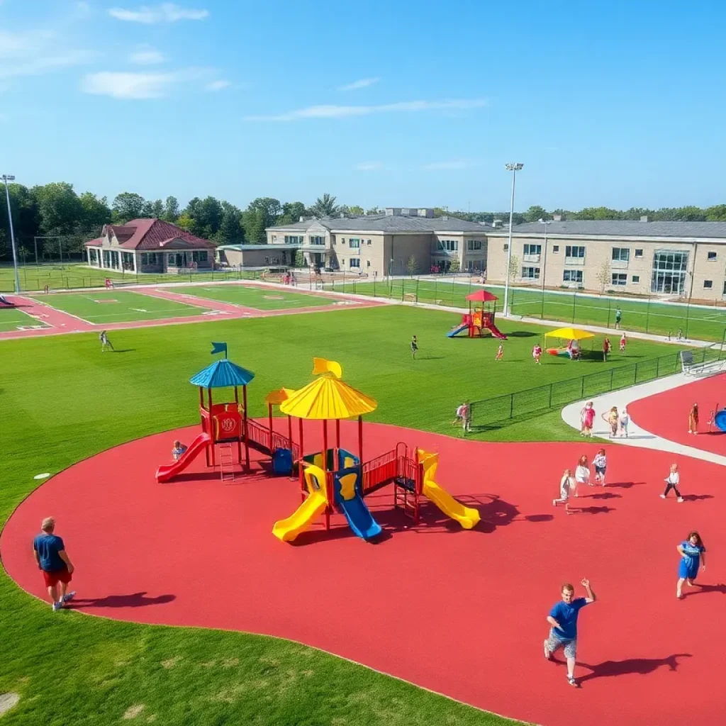
Greenwood County Recreation Complex Unveils Renovation
News Summary The Greenwood County Recreation Complex in South Carolina has undergone a $13 million renovation, transforming it into a vibrant hub for families and athletes. The renovated facility features...
Philadelphia Sparks Debate Over NL MVP Honors Amid Castellanos’ Support for Iglesias
Philadelphia Sparks Debate Over NL MVP Honors In the bustling atmosphere of Philadelphia, the baseball chatter has been buzzing around a bold statement made by Nick Castellanos, outfielder for the...
Sacramento Kings Ignite Fan Excitement with Thrilling Win Streak
Sacramento Kings Fans Getting Fired Up Over Recent Win Streak Hey there, basketball enthusiasts! If you’ve been keeping an eye on the Sacramento Kings, you might have noticed something pretty...
Philadelphia Eagles Secure Wild Card Victory Amid Controversial Saquon Barkley Decision
Philadelphia Eagles vs. New York Giants: A Wild Card Game to Remember This past Sunday in Philadelphia, the excitement surrounding the NFL Wild Card game was palpable. Fans packed the...
Rookie QB Jayden Daniels Leads Commanders to Thrilling Playoff Victory Over Buccaneers
Tampa Bay, Florida – A Rookie Sensation Shocks the NFL Well, folks, you just never know what to expect in the wild world of the NFL, and Sunday night gave...
Cleveland Browns Face Financial Dilemma as Deshaun Watson’s Injury Raises Contract Controversy
Cleveland: A Rollercoaster of Contracts and Injuries In the bustling city of Cleveland, the atmosphere around the Browns is electric, though not always in the right way. Just when fans...
Washington D.C. Prepares for Alex Ovechkin’s Historic Pursuit of Wayne Gretzky’s Goal Record
Washington D.C. Gears Up for a Historic Goal-Scoring Showdown Hey, hockey fans! Big news buzzin’ around the NHL as we’re witnessing something *truly spectacular* on the ice. Washington Capitals superstar...
Heartfelt Farewell to Bill McCartney: A Coaching Legend Remembered
Heartfelt Farewell to Bill McCartney: A Coaching Legend In Boulder, Colorado, the sports community is uniting in grief after the passing of Coach Bill McCartney, a monumental figure in college...


