News Summary
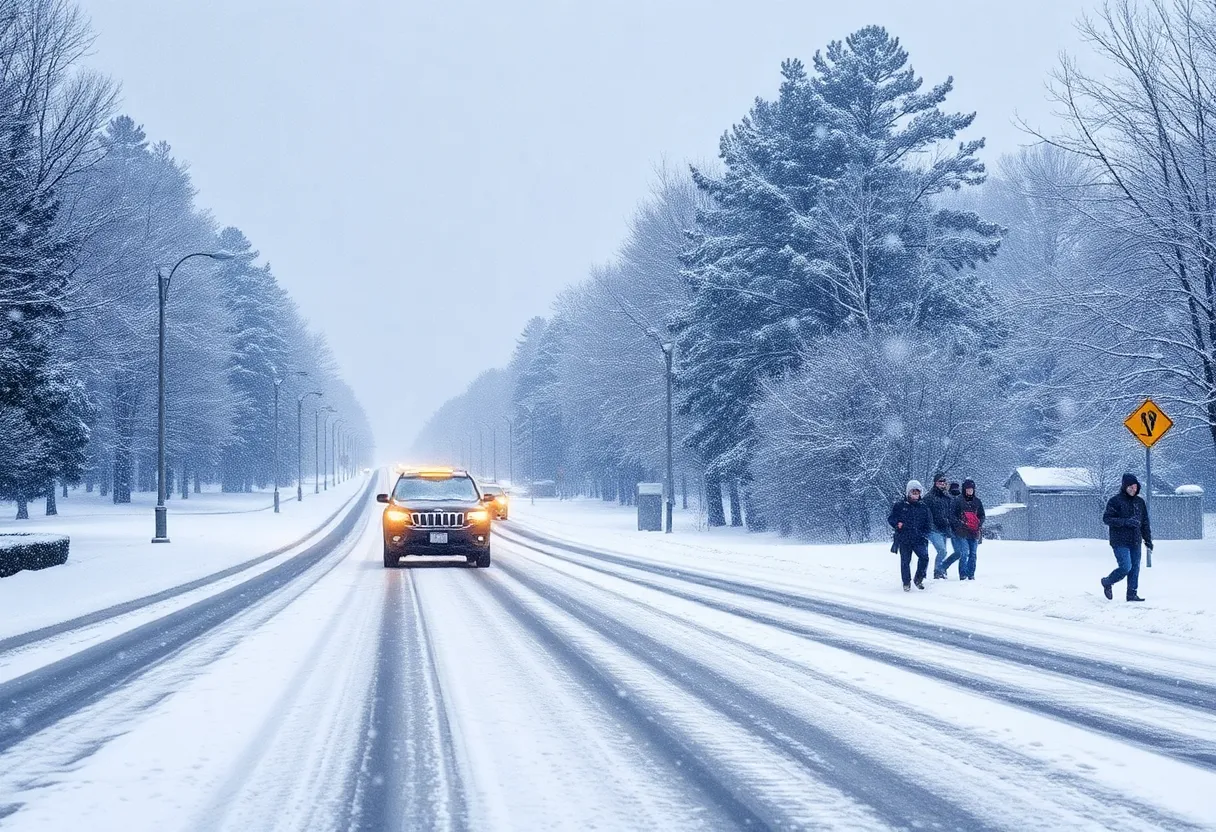
South Carolina is facing a Winter Storm Warning for several counties, including Horry and Georgetown, starting Tuesday evening. Forecasts predict up to 2 inches of snow in most areas, with the heaviest snowfall expected between 8 p.m. and midnight. A Winter Weather Advisory is also in effect for additional counties. Icy conditions may persist following the storm, and colder temperatures will prevail over the following days. Residents are urged to prepare for travel disruptions and stay safe as winter weather approaches.
Winter Storm Warning Hits South Carolina: What’s Happening?
It’s that time of year again! The weather is up to its usual tricks, and South Carolina finds itself preparing for a chilly winter surprise. Excitement and caution are in the air as a Winter Storm Warning has been officially put in place for several counties, including Horry, Williamsburg, Columbus, and Georgetown. The warning kicks in at 9 p.m. Tuesday and is expected to last until 8 a.m. Wednesday. If you are in these areas, expect some changes in your daily routine!
What About Other Counties?
Not to be overlooked, a Winter Weather Advisory has also been activated for Robeson, Bladen, Marlboro, Darlington, Dillon, Florence, and Marion counties, effective from the same time—9 p.m. Tuesday until 8 a.m. Wednesday—so grab your hot cocoa, because it looks like a delightful winter evening!
Snow Forecasts Lowered
Now, let’s get into the nitty-gritty of what we can expect in terms of snow. Recent changes to the weather forecast indicate that we might be dealing with a bit less snow than we initially anticipated. It seems a lack of deep moisture in the atmosphere is leading to lower expected snow totals. In most areas, we could see up to 2 inches of snow, while other spots may just get a light dusting. Still, it’s winter, and snowflakes can be quite charming no matter the quantity!
When is the Snow Coming?
The weather system is on the move, and it’s arriving a little earlier than expected. We should see it rolling in Tuesday evening, likely around 6 p.m. to 8 p.m., and it will be making its grand exit by Wednesday just before dawn. For those curious about peak snowfall times, the Pee Dee and Border Belt regions should prepare for the heaviest snowfall between 8 p.m. Tuesday and midnight, with most of the snow tapering off by 3 a.m. on Wednesday. Meanwhile, the Grand Strand area will notice flurries peaking from 9 p.m. to 2 a.m., with everything winding down by 6 a.m.
Arctic Air and Cold Temperatures
Now, let’s talk about the cold. An chunk of Arctic air has settled over South Carolina, leading to temperatures that are definitely colder than usual. For the next few days, high temperatures will struggle to break into the 30s. And don’t forget those freezing mornings—wind chills could make it feel like we’re in the single digits. Bundle up to stay warm!
Safety First: Prepare for Icy Conditions
While we are breathing a sigh of relief that freezing rain isn’t in the cards for Tuesday and early Wednesday, we still need to keep our wits about us. Icy conditions could linger for up to 24 hours after the storm passes, potentially creating slippery roads and sidewalks. Keep an eye out for freezing drizzle or light freezing rain on Thursday, although the risk is becoming less likely.
Wider Impacts Beyond South Carolina
This winter storm isn’t just affecting South Carolina; it’s part of a larger weather system sweeping across a number of states—from Texas all the way to North Carolina. The National Weather Service has included Clarendon, Calhoun, Orangeburg, and Aiken counties in a Winter Storm Warning where some higher snowfall totals are expected.
As conditions evolve, the Deep South can brace for significant travel disruptions, with some areas experiencing potentially historic snowfall totals. Southern Louisiana, the Gulf Coast, and parts of Florida could see anywhere from 3 to 6 inches of snow. That’s certainly a rare event for those regions!
As we gear up for this winter weather, stay safe, be prepared, and let’s enjoy the beauty that comes with snowy days—even if it means bundled-up trips to the grocery store. The countdown to the iciness has begun, and snowflakes may very well decorate our landscapes soon!
Deeper Dive: News & Info About This Topic
- WLTX: Winter Weather Hits South Carolina Midlands
- WISTV: Snow Possible Across South Carolina This Afternoon
- WISTV: Gov. McMaster Orders Agencies to Remain Open
- WLTX: School Districts Announce Early Dismissals Due to Wintry Weather
- Washington Post: Deep South Winter Storm Forecast
- Wikipedia: Winter Storm
- Encyclopedia Britannica: Winter Storm
- Google Search: Winter Weather South Carolina
- Google News: Winter Storm South Carolina


